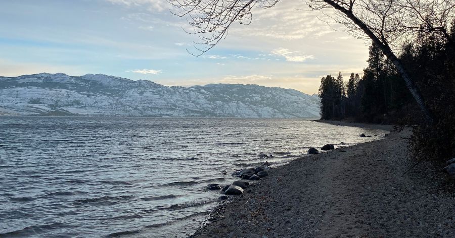
It’s no secret that it’s been a perilously dry year in the BC Interior, but the numbers show just how bad it has been.
The expected average amount of precipitation in Kelowna through the first 11 months of the year is 354.3 millimetres.
During that time frame in 2023, Kelowna received just 128.5 mm of precipitation, which is a tad over 36% of the annual average.
Rain and snow has already fallen in December and more is in the forecast as early as this weekend, so the all-time record low for the year, which was 149.4 mm set in 1952, is likely safe.
However, it’s looking all but certain that 2023 will end as the second driest year on record in Kelowna, beating the current second- and third-place years of 2021 (170 mm) and 1939 (176.9 mm).
With it looking like two of Kelowna’s lowest years of precipitation ever will be in the past three years, Environment Canada meteorologist Derek Lee says it’s a little worrisome heading into 2024.
“Overall, the numbers do look substantially low for the past few years in comparison to all the records we have on hand and (it) is concerning if we see a repeat in 2024,” he told KelownaNow.
In the short-term, 5-10 mm of precipitation are expected on Saturday, Lee noted, but the long-term forecast is still being heavily impacted by El Nino conditions.
He says that there is near 100% confidence that El Nino conditions will continue until March 2024.
“El Nino brings warmer than normal weather for BC in the winter and is more associated with a temperature story,” Lee explained.
“Although a warmer signal is in forecast, that does not mean every day will be warmer than normal, averaged out in the long term, temperatures should average to above normal.”
Lee adds that there is no “a clear signal” for precipitation this year, but El Nino conditions can mean that surrounding mountains see lower snow accumulations and that has been evident at Big White in recent weeks.
But it’s not winter that is the biggest concern, as Lee says low precipitation amounts are most concerning when they happen in the summer.
The region typically has the chance to receive the most precipitation in June and July, in the form of thunderstorms, and it's hard to replenish if that summer rainfall doesn’t come.
The Okanagan was mired in a level five drought this summer, the highest possible rating through BC’s drought information portal, but it has since declined to level two.


